
- Model Terrains
-

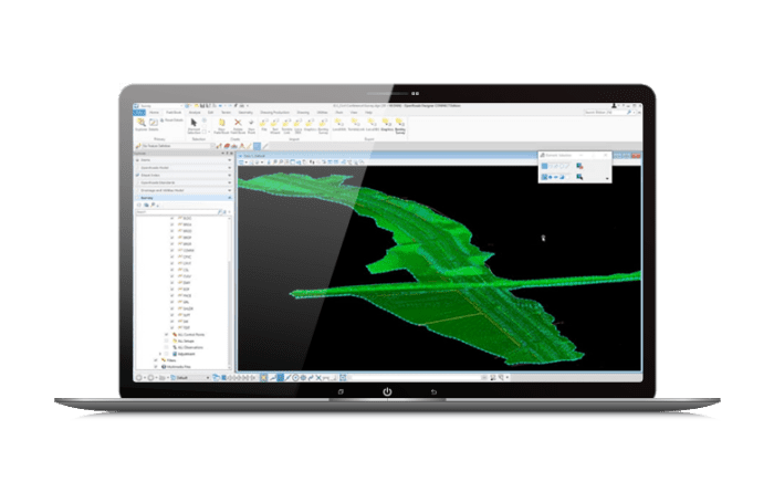
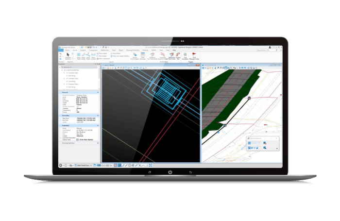
Model and Analyze Terrains
Create intelligent models containing not only terrain data, but also roadway or site features. You can use features to visually distinguish structure, appearance, and symbology in the design.
- Create Alignments
-
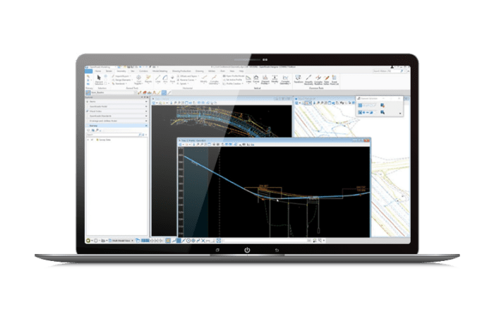
Create Horizontal and Vertical Alignments
Use object-oriented coordinate geometry and alignment design capabilities that provide intelligent updating as you quickly create precision horizontal and vertical alignments. Use elevation profiles to display surface information, as well as vertical alignments associated with horizontal alignments.
- Design Drainage
-
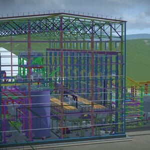
Design and Model Stormwater Drainage
From the creation of models from 2D artifacts and external data, through steady and unsteady state hydraulics and hydrology, to BIM and plans production, you’ll reduce design time with a complete toolset in one application.
- Create Cross-Sections
-
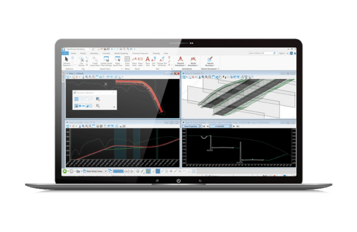
Create Profiles and Cross-Sections
Create profiles and cross-sections from any point within the design. View updates on the fly as the design is modified with dynamic cross sections. You can see the ground changing to reflect design edits. Include surface features, corridor components, and notations, such as construction limits or stationing.
- Design Corridors
-
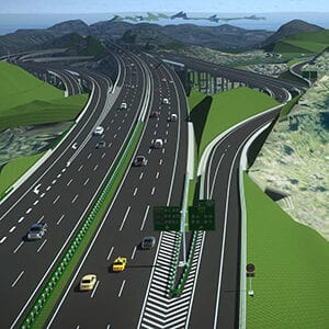
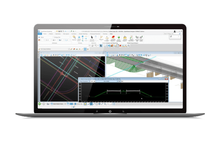
Design, Model and Analyze Corridors
Use immersive corridor modeling capabilities that support complex modeling and file federation demands required by BIM Level 2 and beyond. Streamline the complex development of every aspect of the roadway in a single, parametric presentation. You can move rapidly along a corridor at controlled intervals, viewing and dynamically designing all roadway components in concert.
Model and Analyze Terrains
Create intelligent models containing not only terrain data, but also roadway or site features. You can use features to visually distinguish structure, appearance, and symbology in the design.
Create Horizontal and Vertical Alignments
Use object-oriented coordinate geometry and alignment design capabilities that provide intelligent updating as you quickly create precision horizontal and vertical alignments. Use elevation profiles to display surface information, as well as vertical alignments associated with horizontal alignments.
Design and Model Stormwater Drainage
From the creation of models from 2D artifacts and external data, through steady and unsteady state hydraulics and hydrology, to BIM and plans production, you’ll reduce design time with a complete toolset in one application.
Create Profiles and Cross-Sections
Create profiles and cross-sections from any point within the design. View updates on the fly as the design is modified with dynamic cross sections. You can see the ground changing to reflect design edits. Include surface features, corridor components, and notations, such as construction limits or stationing.
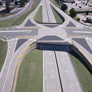
Design, Model and Analyze Corridors
Use immersive corridor modeling capabilities that support complex modeling and file federation demands required by BIM Level 2 and beyond. Streamline the complex development of every aspect of the roadway in a single, parametric presentation. You can move rapidly along a corridor at controlled intervals, viewing and dynamically designing all roadway components in concert.