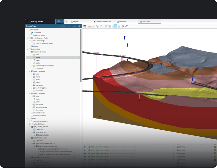
Explore geotechnical solutions, including OpenGround, Leapfrog Works, and PLAXIS![]()
Explore engineering solutions, including OpenFlows, OpenUtilities, and OpenRoads![]()
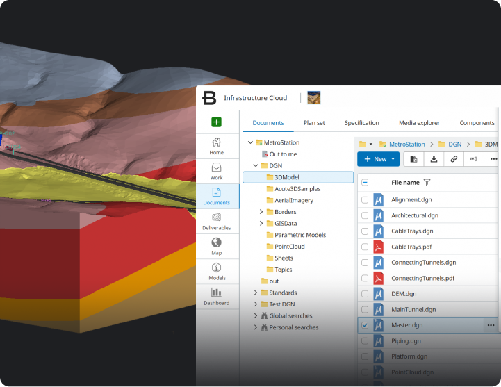
Explore engineering solutions, including OpenFlows, OpenUtilities, and OpenRoads![]()
Explore digital twins, including iTwin Capture and iTwin IoT![]()


