
- CAD & BIM Models
-

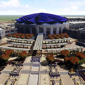
Build your digital twin from existing engineering, spatial data, and enterprise information
- CAD & BIM Models
Incorporate CAD and BIM models into your digital twin - Spatial Data
Bring together GIS and map data for precise spatial context - Enterprise Information
Connect additional data such as project planning and operational information
- CAD & BIM Models
- View Data
-

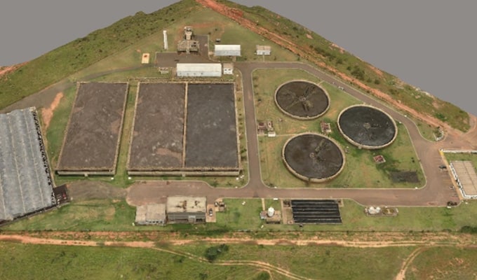
Gain new insights into planning and operations data
- Visualize 3D Imagery
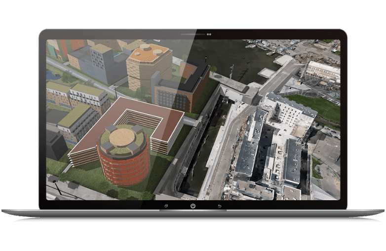
Integrate precise 3D reality meshes and point cloud data. - Integrate CityGML
Visualize CityGML geometry and semantic data. - Build Visualizations
Create, visualize, and analyze scenarios with your 3D digital twin.
- Visualize 3D Imagery
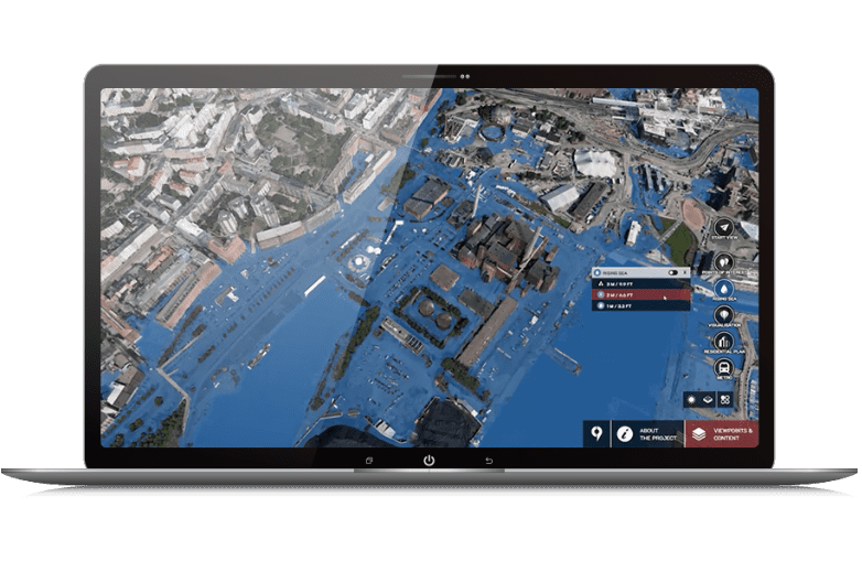
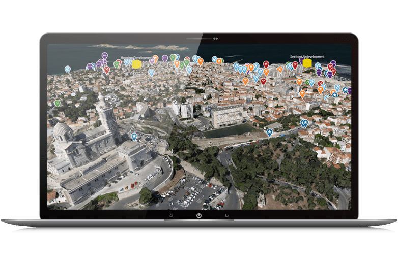
- Engage Stakeholders
-
Accelerate and expand feedback and approvals
- Access It Anywhere View your digital twin on mobile, tablet, desktop, and VR/AR devices, as well as large touch-screens.
- Crowdsource Ideas Enable stakeholders to offer feedback through polls, surveys, and pins.
- Build and Visualize Plans Create and share 3D urban plans to improve communication among your teams.
Build your digital twin from existing engineering, spatial data, and enterprise information
- CAD & BIM Models
Incorporate CAD and BIM models into your digital twin - Spatial Data
Bring together GIS and map data for precise spatial context - Enterprise Information
Connect additional data such as project planning and operational information
Gain new insights into planning and operations data
- Visualize 3D Imagery
Integrate precise 3D reality meshes and point cloud data. - Integrate CityGML
Visualize CityGML geometry and semantic data. - Build Visualizations
Create, visualize, and analyze scenarios with your 3D digital twin.
Accelerate and expand feedback and approvals
- Access It Anywhere View your digital twin on mobile, tablet, desktop, and VR/AR devices, as well as large touch-screens.
- Crowdsource Ideas Enable stakeholders to offer feedback through polls, surveys, and pins.
- Build and Visualize Plans Create and share 3D urban plans to improve communication among your teams.