

- Optimize Earthwork
-
 Read Data Sheet ❯
Run Thousands of Iterations Based on Designer-Defined Constraints
OpenSite employs an earthwork optimization engine that explores alternatives with a click of a button. Evaluate different design scenarios, implement stakeholder input, or add critical grading elements such as walls and beams to dynamically generate the optimal cost of construction. - Visualize Designs
-
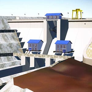
Take Advantage of 3D Visualization
OpenSite Designer includes LumenRT to produce attention-grabbing and easily understandable visualizations for stakeholders. You no longer have to be a computer graphics expert to create life-like digital visualizations.
- Create Detailed Layouts
-
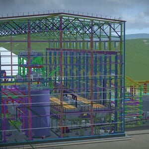
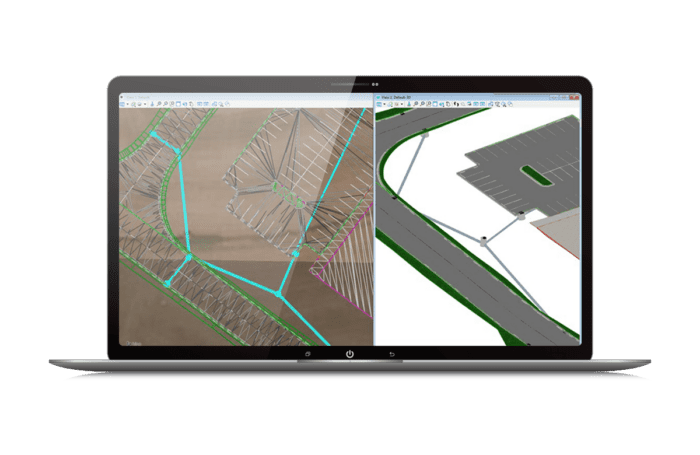
Develop Concepts Using a Complete Set of Detailed Site Design Capabilities
OpenSite Designer is not just another CAD tool; it’s for modeling the finer details and includes everything you need to take your design from concept to plan production. Working in a 3D model allows engineers to see both 2D and 3D design details.

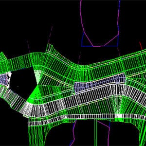
Run Thousands of Iterations Based on Designer-Defined Constraints
OpenSite employs an earthwork optimization engine that explores alternatives with a click of a button. Evaluate different design scenarios, implement stakeholder input, or add critical grading elements such as walls and beams to dynamically generate the optimal cost of construction.
Take Advantage of 3D Visualization
OpenSite Designer includes LumenRT to produce attention-grabbing and easily understandable visualizations for stakeholders. You no longer have to be a computer graphics expert to create life-like digital visualizations.
Develop Concepts Using a Complete Set of Detailed Site Design Capabilities
OpenSite Designer is not just another CAD tool; it’s for modeling the finer details and includes everything you need to take your design from concept to plan production. Working in a 3D model allows engineers to see both 2D and 3D design details.