

- About iTwin Capture Modeler Flex
-

What is iTwin Capture Modeler Flex?
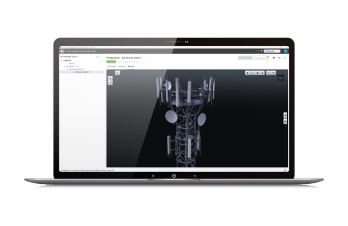
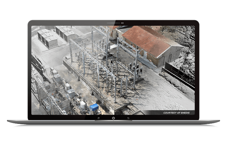
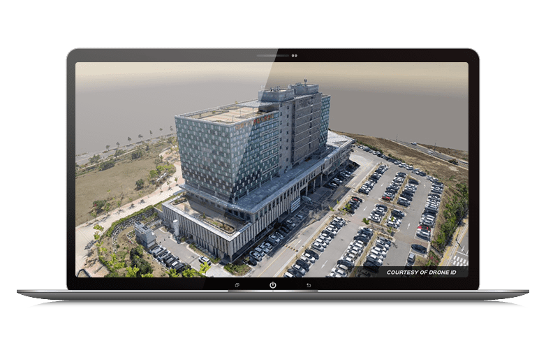
iTwin Capture Modeler Flex is Bentley’s next-generation reality modeling application designed to prepare and organize your modelling projects. It allows you to import raw data, such as photographs and lidar point clouds, set up processing tasks, manage project configurations, and monitor progress. These tasks are then executed by iTwin Capture Engine, which performs the actual data processing.
Built for flexibility, iTwin Capture Modeler Flex helps you structure workflows efficiently, whether you plan to process locally or in the cloud. It supports scaling from single sites to citywide projects, enabling faster delivery, easier collaboration, and cost-effective operations—all while giving you confidence in your results.
- Capabilities
What is iTwin Capture Modeler Flex?
iTwin Capture Modeler Flex is Bentley’s next-generation reality modeling application designed to prepare and organize your modelling projects. It allows you to import raw data, such as photographs and lidar point clouds, set up processing tasks, manage project configurations, and monitor progress. These tasks are then executed by iTwin Capture Engine, which performs the actual data processing.
Built for flexibility, iTwin Capture Modeler Flex helps you structure workflows efficiently, whether you plan to process locally or in the cloud. It supports scaling from single sites to citywide projects, enabling faster delivery, easier collaboration, and cost-effective operations—all while giving you confidence in your results.
