


iTwin Capture Cloud Services
SOLVE & CONNECT
SOLVE & CONNECT
Products
Industries
Support
Company
Back
expand what you can do
View all products
Find a local partner
Student & educator access
Bentley Ecosystem Catalog
Paid training catalog
Professional services
Back
INDUSTRIES WE EMPOWER
Back
SOLVE, TRAIN, & CONNECT
Back
ENGAGE WITH US
iTwin Capture Cloud Services leverages the power of cloud computing to capture, manage, analyze, and share reality data to create–and continuously update–a digital twin of your infrastructure.
Comprehensive and cost-effective, this solution empowers reality data capture with the ability to provide field-based, insight-driven decisions through a 4D single source of truth. Make your data actionable so stakeholders can access the right information at the right time and make more informed, timely decisions throughout the project lifecycle.
iTwin Capture Cloud Services offer all the benefits associated with cloud technology–high scalability and accessibility from web, mobile, and desktop clients without new hardware purchases or maintenance costs.
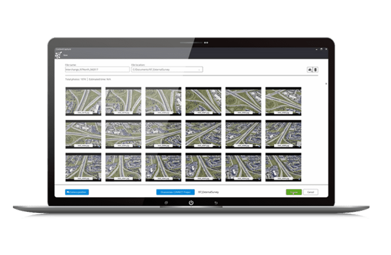
Create engineering-ready reality data–such as reality meshes, point clouds, and orthophotos–using any digital camera, scanner, or mobile mapping device.
Benefit from parallel computing to quickly create scalable and high-fidelity reality meshes to serve as the digital context for design, engineering, construction, and operations workflows.
Federate all your reality data, no matter the size or type, in a connected data environment. Securely manage, store, grant user access, and share large amounts of reality data to all authorized stakeholders on any device.
Working in a connected data environment improves your workflow by sharing and syncing your reality data instantly across project teams and applications, allowing everyone to receive the right information at the right time and make more informed, timely decisions.
Leverage artificial intelligence and machine learning to unlock the entire value of your reality data and turn it into real-world insights for data-driven decisions. Save hours of tedious work by using automated feature extraction and defect detection, combined with efficient asset inventory and feature extraction workflows.
Deliver your reality data in engineering-ready formats to be consumed in any CAD or GIS workflow, or by using iTwin Platform-based applications.

Please wait while you are redirected to the right page...