
- Incorporate Contextual Information
-

Incorporate Contextual Information
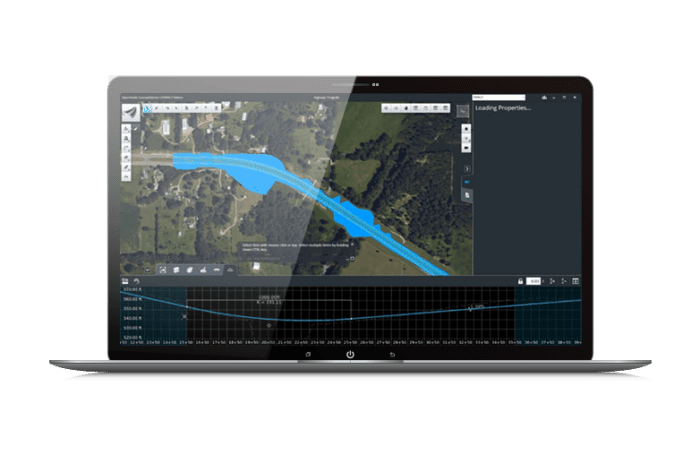
Jumpstart your conceptual design process by locating and downloading data-rich contextual information for a given location to model in a real-world setting. You can readily import data from your GIS to create intelligent 3D models in context with minimal effort.
- Understand Financial Implications Early
-
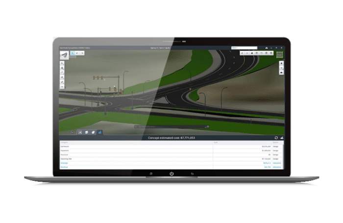
Understand Financial Implications Early
Identify high-cost items and potential risks with the ability to generate project estimates that dynamically update as design modifications are made. You’ll win more business by generating better, more cost-effective designs.
- Go from Idea to 3D Faster Than Ever
-
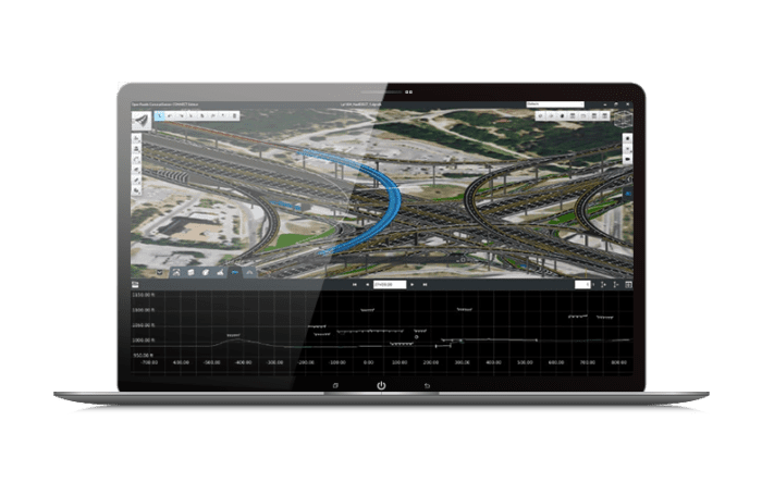
Go from Idea to 3D Faster Than Ever
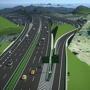
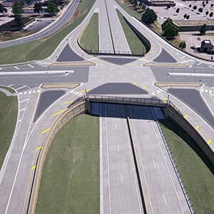
Simplify 3D modeling with easy-to-use engineering sketching capabilities to quickly conceptualize road and bridge infrastructure.
Incorporate Contextual Information
Jumpstart your conceptual design process by locating and downloading data-rich contextual information for a given location to model in a real-world setting. You can readily import data from your GIS to create intelligent 3D models in context with minimal effort.
Understand Financial Implications Early
Identify high-cost items and potential risks with the ability to generate project estimates that dynamically update as design modifications are made. You’ll win more business by generating better, more cost-effective designs.
Go from Idea to 3D Faster Than Ever
Simplify 3D modeling with easy-to-use engineering sketching capabilities to quickly conceptualize road and bridge infrastructure.