
- Scenario Management
-
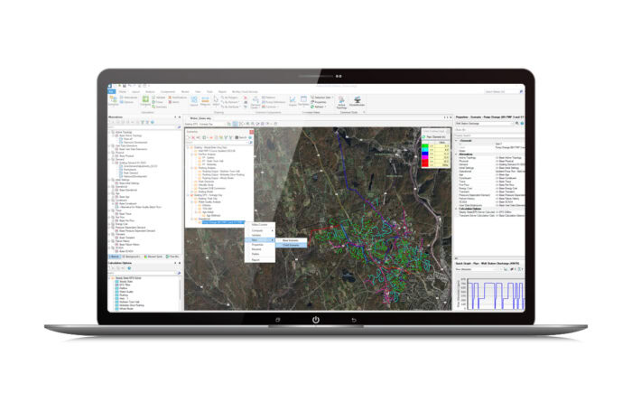
Scenario Management
Perform multiple hydraulic model scenarios using alternative data sets to simulate the system under a variety of what-if conditions. Analyze pipe and valve criticality to determine the weakest links in your water distribution system. - Transient Simulation
-
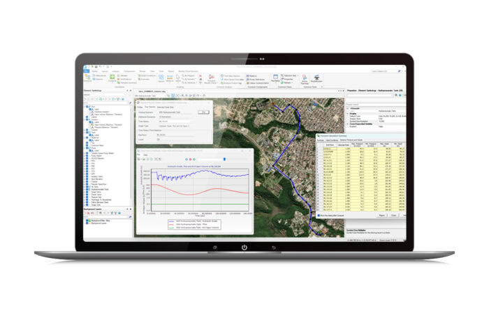
Transient Simulation and Analysis
Use water hammer and hydraulic analysis software to efficiently identify, manage, and mitigate the risks associated with transients. - Hydraulic Modeling
-

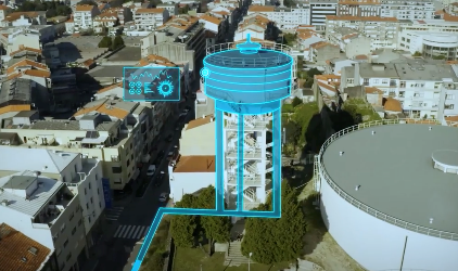
Hydraulic Modeling
Build your hydraulic model quickly, synchronizing network data from standard formats that include GIS and CAD files, databases, and spreadsheets. Be compatible with various data formats and sources.
- Model Calibration
-
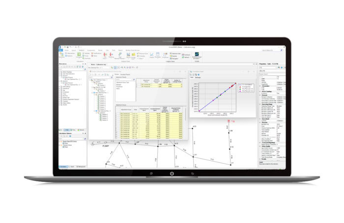
Model Calibration
Apply AI-powered automated calibration using Darwin® Calibrator and ensure your model is calibrated and accurate in any condition—including peak days, component failures, fire flows, and future demands—by eliminating discrepancies between the model and field data.
- Design Optimization
-
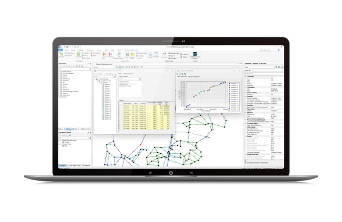
Design Optimization
Use Darwin Designer to automatically determine maximum pressure benefits, minimum cost designs, and rehabilitation strategies based on available budget, construction cost, and pressure and velocity constraints.
Scenario Management
Perform multiple hydraulic model scenarios using alternative data sets to simulate the system under a variety of what-if conditions. Analyze pipe and valve criticality to determine the weakest links in your water distribution system.
Transient Simulation and Analysis
Use water hammer and hydraulic analysis software to efficiently identify, manage, and mitigate the risks associated with transients.
Hydraulic Modeling
Build your hydraulic model quickly, synchronizing network data from standard formats that include GIS and CAD files, databases, and spreadsheets. Be compatible with various data formats and sources.
Model Calibration
Apply AI-powered automated calibration using Darwin® Calibrator and ensure your model is calibrated and accurate in any condition—including peak days, component failures, fire flows, and future demands—by eliminating discrepancies between the model and field data.
Design Optimization
Use Darwin Designer to automatically determine maximum pressure benefits, minimum cost designs, and rehabilitation strategies based on available budget, construction cost, and pressure and velocity constraints.
