Add Real-world Insights to Your Digital Twins with Reality Modeling
Add Real-world Insights to Your Digital Twins with Reality Modeling
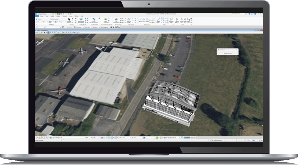
Drone pilots, surveyors, data acquisition specialists, and mappers need to add reality data and real-world insights to digital twins to support decision-making during the design, engineering, construction, and operations phases of the infrastructure lifecycle.
Embracing innovative solutions is important to streamline processes, enhance efficiency, and deliver accurate results on time and within budget.
Read our e-book and discover how iTwin Capture Modeler, a desktop photogrammetry application, can accelerate your infrastructure workflows by easily capturing the real world.
Get Your free e-book
Getting started is easy.
With small business pricing, support, and training, you’ll be up and running in no time. Contact our product experts to know more about our reality capture offering.