


OVERVIEW
Simplify complex government projects
Manage complex regional and national projects securely by connecting engineering and asset data to improve long-term performance.
Design
Create intelligent, data-rich, and shareable 3D models that provide a clear vision for the entire project team, ensuring buy-in from the very beginning.
Collaborate on 3D models of complex infrastructure systems across agencies, departments, and project teams.
Assess environmental impacts and climate risks to support compliant, resilient infrastructure.
Build
Bring your project to life by visualizing the construction sequence in advance. Integrate schedules with 3D models to solve issues proactively for a safer, more efficient build.
Share project data and construction plans across teams to reduce rework and keep schedules on track.
Use digital twins to monitor progress, identify risks, and support regulatory and safety compliance.
Operate
Optimize daily performance with real-time data from your asset. Make smarter, data-driven decisions that’ll help ensure it operates reliably.
Manage sensitive government infrastructure data in secure, controlled digital environments.
View asset performance across infrastructure systems in a single dashboard to support faster, data-driven decisions.
Maintain
Extend the life of your asset using a digital twin. Remotely monitor real-time conditions to identify problems before they occur, improving safety and long-term reliability.
Use asset data and analytics to forecast risk, prioritize repairs, and reduce service disruptions.
Map underground utilities and subsurface assets to reduce excavation risk with Seequent, the Bentley Subsurface Company.
Solutions
Regional and national government lifecycle solutions
Transportation networks
Design, build, and maintain transportation projects with real-time model updates that streamline reviews and keep projects on budget.
-
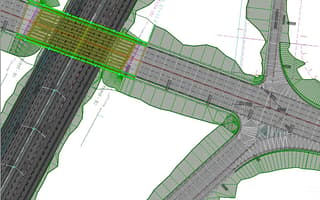
-
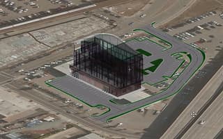
OpenSite Designer
Starting at
$3,168.00 USDSite design software for modeling and analysis
-
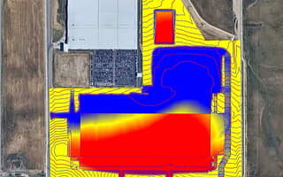
-
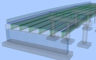
OpenBridge Designer
Starting at
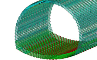
$10,028.00 USDIntegrated bridge design, analysis, and modeling software
-
-
OpenRail Designer
Starting at
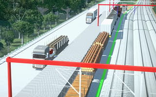
$9,383.00 USDA complete modeling environment for rail network design, from concept to operations.
-
OpenRail ConceptStation
Starting at
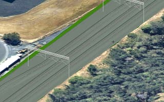
$6,101.00 USDConceptual rail design and 3D visualization software
-
MicroStation
Starting at
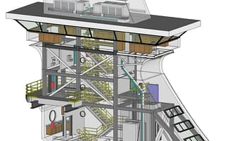
$2,656.00 USDInfrastructure CAD software for 2D and 3D design
-
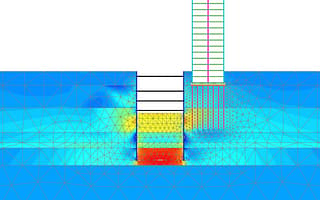
PLAXIS 2D
Starting at
$4,450.00 USD2D geotechnical finite element analysis software
-
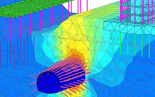
PLAXIS 3D
Starting at
$11,675.00 USD3D geotechnical finite element analysis software
-
-
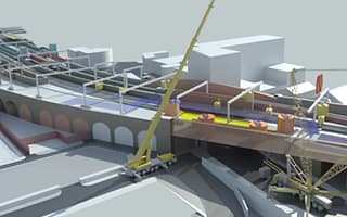
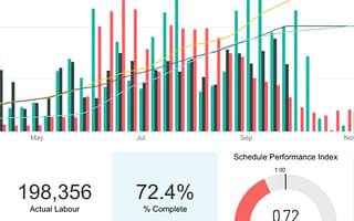
SYNCHRO 4D
Starting at
$4,980.00 USD4D construction planning and performance tracking software
-
-

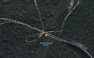
AssetWise 4D Analytics
Contact UsIoT analytics software for oil and gas infrastructure
-
-
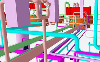
AssetWise ALIM
Contact UsAsset Lifecycle Information Management software for infrastructure
-
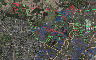
AssetWise Linear Network Management
Contact UsLinear network and asset information management software


Water and energy systems
Model, build, and manage resilient utility infrastructure to secure water supplies and keep power grids running safely for communities.
-
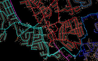
OpenFlows Water
Starting at
$1,021.00 USDModel and design efficient water distribution systems.
-
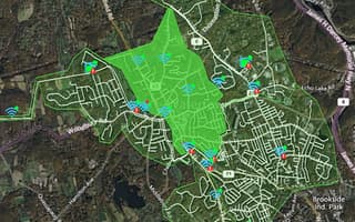
-
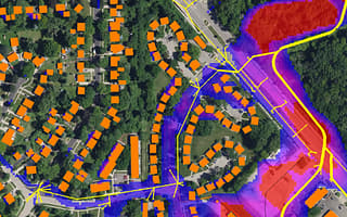
OpenFlows Sewer
Starting at
$1,021.00 USDSewer system modeling, analysis, and design software
-
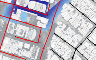
OpenFlows Storm
Starting at
$1,355.00 USDStormwater system modeling and analysis software
-
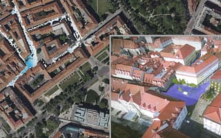
OpenFlows FLOOD
Starting at
$16,785.00 USDFlood simulation and forecasting software
-
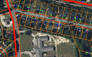
OpenUtilities Designer
Contact UsUtilities network design software for electric distribution
-
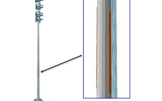
OpenTower Designer
Starting at
$4,477.00 USDTelecom tower structural analysis and design software
-
PLAXIS 2D
Starting at
$4,450.00 USD2D geotechnical finite element analysis software
-
PLAXIS 3D
Starting at
$11,675.00 USD3D geotechnical finite element analysis software
-
-
SYNCHRO 4D
Starting at
$4,980.00 USD4D construction planning and performance tracking software
-
-
AssetWise 4D Analytics
Contact UsIoT analytics software for oil and gas infrastructure
-
-
AssetWise ALIM
Contact UsAsset Lifecycle Information Management software for infrastructure


Defense and security infrastructure
Securely host and manage critical asset data using FedRAMP-authorized digital twins to protect sensitive national security details.
-
-

OpenGround
Starting at
$245.00 USDGeotechnical data management software and collaboration platform
-
-
AssetWise 4D Analytics
Contact UsIoT analytics software for oil and gas infrastructure
-
-
AssetWise ALIM
Contact UsAsset Lifecycle Information Management software for infrastructure
-
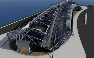
Bentley Infrastructure Cloud
Contact UsInfrastructure delivery and performance software


Interactive infrastructure visualization
Optimize infrastructure, visualize future projects, and engage your community to improve resident life with Bentley’s digital twins.
-
-
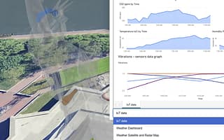
Bentley Enterprise Connection Services
Contact UsEnterprise data integration workflow software

“With the sophisticated sequencing, overwhelming amount of underground utilities, and enormous group of project stakeholders, this project sets the new standard on what can be accomplished when a digital twin is used as the primary contract document.”
USER STORIES
Real stories, real users
TfL forecasts 10 million fewer car journeys per year and a net reduction of 24.6 million fewer grams of carbon emissions per day.

Six seaports are managed using a digital twin to carefully steward the Australian coast and maintain a safe coastal ecosystem.

Bentley products provided a digital visual environment, saving 50,000 work hours and USD 7 million in project costs.

Find out what that means for federal infrastructure projects.

Discover how the US Army Corps digitized $500M of subsurface data in OpenGround to quickly respond to critical dam failures.

Events & Updates
Stay in the know
Connect with our team at events and stay updated on the latest insights and news for regional and national governments.
OCT 06, 2026

FAQS
Find answers
Bentley provides FedRAMP-authorized solutions meeting strict federal security standards. These secure environments allow government agencies to host and manage sensitive public infrastructure data with complete confidence. By implementing these authorized tools, your organization ensures top-tier data protection while maintaining seamless collaboration across teams and contractors. Learn more about our security capabilities at https://www.bentley.com/trust-center
Yes. Our applications are built for high interoperability, allowing you to connect and work with diverse legacy systems and data sets. This eliminates disconnected software headaches and provides a single, clear digital twin view of all your public assets. This open-platform approach helps engineers and operators collaborate easily without manual workarounds. Discover how our tools play nice with your systems at https://www.bentley.com/software
Bentley offers flexible subscription-based licensing designed to support individual users, teams, and organizations. Options include role-based access, shared licenses, and enterprise-wide subscriptions, enabling teams to scale usage, manage costs, and access software and services as project needs evolve.
Bentley Regional and National Government infrastructure software solutions are specialized digital platforms designed to help public agencies plan, design, build, and operate critical civic assets. These solutions provide a connected data environment that unifies information across the entire lifecycle of a project. By using these tools, government agencies can streamline workflows, improve collaboration across external contractors, ensure regulatory compliance, and deliver safer, more efficient public infrastructure.
Bentley Systems provides comprehensive software and digital twin solutions for a wide variety of public infrastructure. We support government agencies in managing transportation networks (including roads, highways, bridges, rail, and transit), water and wastewater systems, power grids, and public works. Our technology empowers agencies to manage the entire lifecycle of these critical assets, ensuring they remain resilient, sustainable, and capable of serving the community for decades to come.
A digital twin gives you a complete and current virtual model of your infrastructure assets. For government agencies, this means you can see, understand, and manage your roads, bridges, public works, and utilities from one place. By integrating data from different systems into a single view, Bentley Systems digital twin solutions enable you to stop wasting time searching for information and start making smarter, faster decisions.
With a digital twin, you can simulate potential issues, plan for future needs, and improve maintenance operations, all without impacting the real world. This helps you keep your infrastructure running smoothly, stay compliant with regulations, and reduce risks. Ultimately, with Bentley’s technology as your foundation of trusted data, your agency can deliver more resilient and reliable public infrastructure to the communities you serve.
Delivering infrastructure projects on time and on budget requires more than just generic file sharing; it requires managing complex, massive engineering data securely. Bentley Systems uniquely solves this with industry-leading infrastructure collaboration software like ProjectWise.
Rather than forcing teams to navigate disconnected workflows, Bentley provides a secure, connected data environment engineered specifically for civil design and construction. We break down the data silos between government oversight teams, internal engineers, external contractors, and the public. By creating a single source of truth that meticulously tracks every design change, clash, and approval across the entire project lifecycle, Bentley enables your agencies to eliminate costly rework, mitigate compliance risks, and confidently deliver high-quality infrastructure projects faster.

Ready to transform your infrastructure projects?
Contact us
Loading form...
Message received.
Thanks for getting in touch.
A member of our sales team will contact you to answer your questions and help you find the right option for your team.