


OVERVIEW
Future-ready cities with AI-powered digital twins
Simplify complex city infrastructure. Use digital twins to connect data, improve decisions, and optimize delivery.
Design
Create intelligent, data-rich, and shareable 3D models that provide a clear vision for the entire project team, ensuring buy-in from the very beginning.
Connect data with immersive digital twins to improve planning, stakeholder collaboration, and citizen engagement.
Design resilient cities with connected engineering workflows that reduce risk and rework.
Combine AI, transport modelling, and 3D geospatial context for data-driven decisions that improve urban mobility and safety.
Transform reality data into geospatial intelligence with fast processing, secure governance, 3D visualization, and AI-driven insights.
Build
Bring your project to life by visualizing the construction sequence in advance. Integrate schedules with 3D models to solve issues proactively for a safer, more efficient build.
Plan, schedule, and manage construction projects in a visual 4D environment.
Improve infrastructure delivery by connecting 2D, 3D, and 4D workflows across the project lifecycle.
Operate
Optimize daily performance with real-time data from your asset. Make smarter, data-driven decisions that’ll help ensure it operates reliably.
Access engineering, condition, and operational information in a connected, safe environment.
Use digital twins to visualize, analyse, and manage city infrastructure performance.
Maintain
Extend the life of your asset using a digital twin. Remotely monitor real-time conditions to identify problems before they occur, improving safety and long-term reliability.
Improve inspection planning, condition assessments, and compliance across city infrastructure networks.
Support long-term infrastructure reliability, resilience, and service life through connected asset information.
Solutions
Targeted city and municipalities solutions
Planning and coordination
Optimize city infrastructure, visualize future projects, and engage your community to improve resident life with Bentley’s Digital Twins.
-
-
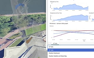
Bentley Enterprise Connection Services
Contact UsEnterprise data integration workflow software

Infrastructure design
Optimize infrastructure design and eliminate rework. Bentley connects city leaders, engineers, and contractors in one repository to save time and cut costs.
-
-
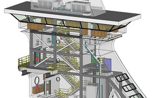
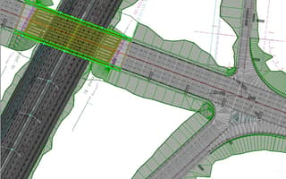
MicroStation
Starting at
$2,656.00 USDInfrastructure CAD software for 2D and 3D design
-
-
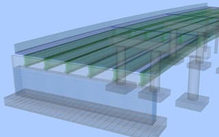
OpenBridge Designer
Starting at
$10,028.00 USDIntegrated bridge design, analysis, and modeling software
-
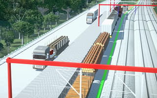
OpenRail Designer
Starting at
$9,383.00 USDA complete modeling environment for rail network design, from concept to operations.
-
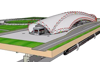
OpenBuildings Designer
Starting at
$3,844.00 USDBuilding design and energy analysis software
-
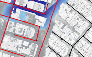
OpenFlows Storm
Starting at
$1,355.00 USDStormwater system modeling and analysis software
-
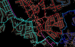
OpenFlows Water
Starting at
$1,021.00 USDModel and design efficient water distribution systems.
-
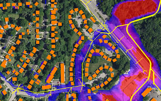
OpenFlows Sewer
Starting at
$1,021.00 USDSewer system modeling, analysis, and design software
-
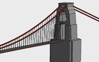
STAAD.Pro
Starting at
$3,995.00 USDStructural analysis and design software for engineers


Mobility planning
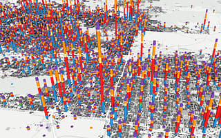
Cut capital costs up to 15%. Bentley unites teams for data-driven decisions, accurately forecasting scenarios to boost time efficiency.
-
Bentley OpenPaths
Starting at
$9,951.00 USDTransportation planning and modeling software

Survey and mapping
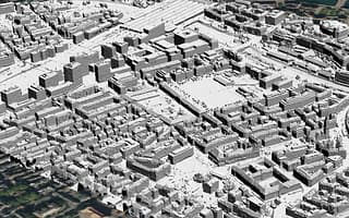
Process survey data 85% faster and reduce storage costs by 65%. Automate capture to deliver reality models that reduce errors and unite teams.
-
iTwin Capture Modeler
Contact UsReality modeling and context capture software for digital assets
-

iTwin Capture WorkSuite
Starting at
$5,000.00 USDReality data management, processing, and analysis product suite
-
-
iTwin Capture Cloud Services
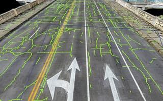
Contact UsCloud reality data processing and analysis services
-
iTwin Capture Manage & Extract
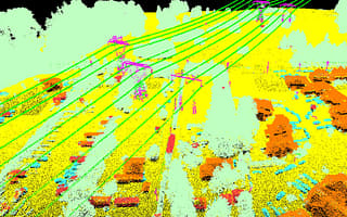
PriceReality data management and feature extraction software


Digital infrastructure construction
Improve project visibility, align stakeholders, and reduce risks and costs by detecting issues early with 4D simulations.
-
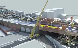
SYNCHRO 4D
Starting at
$4,980.00 USD4D construction planning and performance tracking software
-
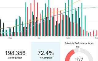
-


Collaborative project delivery
Standardize and automate workflows to align teams, streamline reviews, and improve infrastructure project deliverable quality.
-
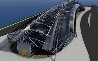
Bentley Infrastructure Cloud
Contact UsInfrastructure delivery and performance software
-

“Bentley’s iTwin technology provided the tool to create an urban digital twin that helped us save EUR 200,000 annually on videos alone, improved our communication and collaboration internally and externally, and achieved a 95% cost savings on accessing information by using the digital twin as a single source of truth.”
USER STORIES
Real stories, real users
Using Bentley’s ContextCapture, SLA processed massive data to generate the SG Digital Twin that increased data availability by 50%.

The city used Bentley’s iTwin to create a digital twin, establishing a single source of truth that improves city planning and public consultation.

Foth used Bentley solutions to process LiDAR data into a 3D reality mesh, creating a digital twin to streamline urban development.

Bentley Systems uses digital twins and AI in Smart Dublin, replacing paper diagrams with tablets to speed up emergency fire responses.

Events & Updates
Stay connected with us.
Connect with our team at events and stay updated on the latest insights and news for commercial and civic facilities.
OCT 06, 2026

FAQS
Find answers
Bentley’s digital twin solutions, powered by the iTwin Platform, provide a living, holistic view of your urban infrastructure. Whether you are using our solutions to manage urban development or simulating traffic flows for mobility, our technology lets you address distinct challenges like congestion, emergency response, and aging infrastructure. By running "what-if" scenarios within our connected data environment, you can test engineering solutions virtually before committing public funds, optimizing everything from mobility planning to long-term asset performance across the entire infrastructure lifecycle.
With Bentley, you can start with the data you already have. The iTwin Platform is uniquely designed to be open and flexible, allowing you to federate data from virtually any source without overhauling your existing systems. We excel at bridging the gap between engineering and geospatial data by seamlessly integrating your GIS data, reality meshes captured from our surveying tools, 3D BIM design models (like those from MicroStation), and real-time IoT sensor data into a single, comprehensive, and trusted view of your city.
Absolutely. Advancing sustainable infrastructure is at the core of Bentley’s mission. Using our digital twin solutions, you can actively analyse the embodied carbon footprint of different design alternatives during the early planning phases. Furthermore, you can simulate the impact of extreme weather events to improve long-term infrastructure resilience. By providing data-driven insights, Bentley software empowers you to optimize the energy performance of buildings and transport networks, directly supporting the achievement and monitoring of your city's climate action plans.
Bentley offers flexible subscription-based licensing designed to support individual users, teams, and organizations. Options include role-based access, shared licenses, and enterprise-wide subscriptions, enabling teams to scale usage, manage costs, and access software and services as project needs evolve.
Bentley supports municipal infrastructure management by providing a connected digital environment that unifies the entire lifecycle of your civic assets—from initial planning and design to construction and daily operations. Our software solutions and AI-powered digital twins empower city leaders to transition from reactive maintenance to proactive asset management.
By centralizing data across transportation, water, and public works, municipalities can optimize budgets, extend the lifespan of critical infrastructure, and ensure long-term resilience for their communities.
Digital twins improve civic engagement by transforming complex engineering data into highly visual, easy-to-understand 3D models. Instead of sharing technical blueprints or dense reports, municipalities can present the public with immersive, real-world visualizations of proposed projects. This level of transparency allows citizens to clearly see the visual and environmental impact of future infrastructure, fostering productive community feedback, reducing project pushback, and ultimately building public trust in city investments.

Ready to transform your infrastructure projects?
Contact us
Loading form...
Message received.
Thanks for getting in touch.
A member of our sales team will contact you to answer your questions and help you find the right option for your team.