

MAR 03, 2026
Meet The Software That Helps Keep Colombia’s Most Isolated Towns Connected to the World
Discover how Colombia’s SATENA airline uses Bentley’s MicroStation software to design safe, efficient flight routes through challenging terrain.
Thomas Kohnstamm
Key Takeaways
- Flight routes are invisible infrastructure for isolated communities.
- MicroStation helps engineers design safe 3D paths through mountains and jungles.
- More direct routes reduce fuel use and CO2 emissions.
In Colombia, geography can be destiny. Steep ridgelines, dense jungle, and narrow valleys carve parts of the South American country into isolated pockets of civilization where roads can’t always follow. In many communities, a town’s main street doubles as its airstrip, and rivers are the only highway. A person might spend three hours by boat and another three by mule just to reach the neighboring town.
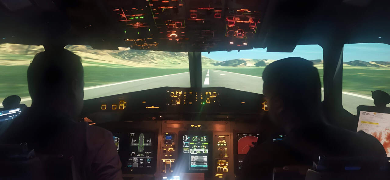
An airplane can make some of these trips feasible. But threading safe flight routes through remote parts of Colombia is complex, riddled with such obstacles as high mountains and unpredictable weather, says Alexander Reyes González, leader of Air Navigation Affairs at SATENA, Colombia’s state-owned domestic airline.
A safe flight route is a piece of invisible infrastructure, and that’s exactly where software from Bentley Systems, the infrastructure engineering software company, comes in. Its MicroStation software is typically used for building digital models of roads, bridges, tunnels, and other infrastructure. But SATENA relies on it to design flight maps and procedures that not only meet regulatory safety requirements but open entirely new routes.
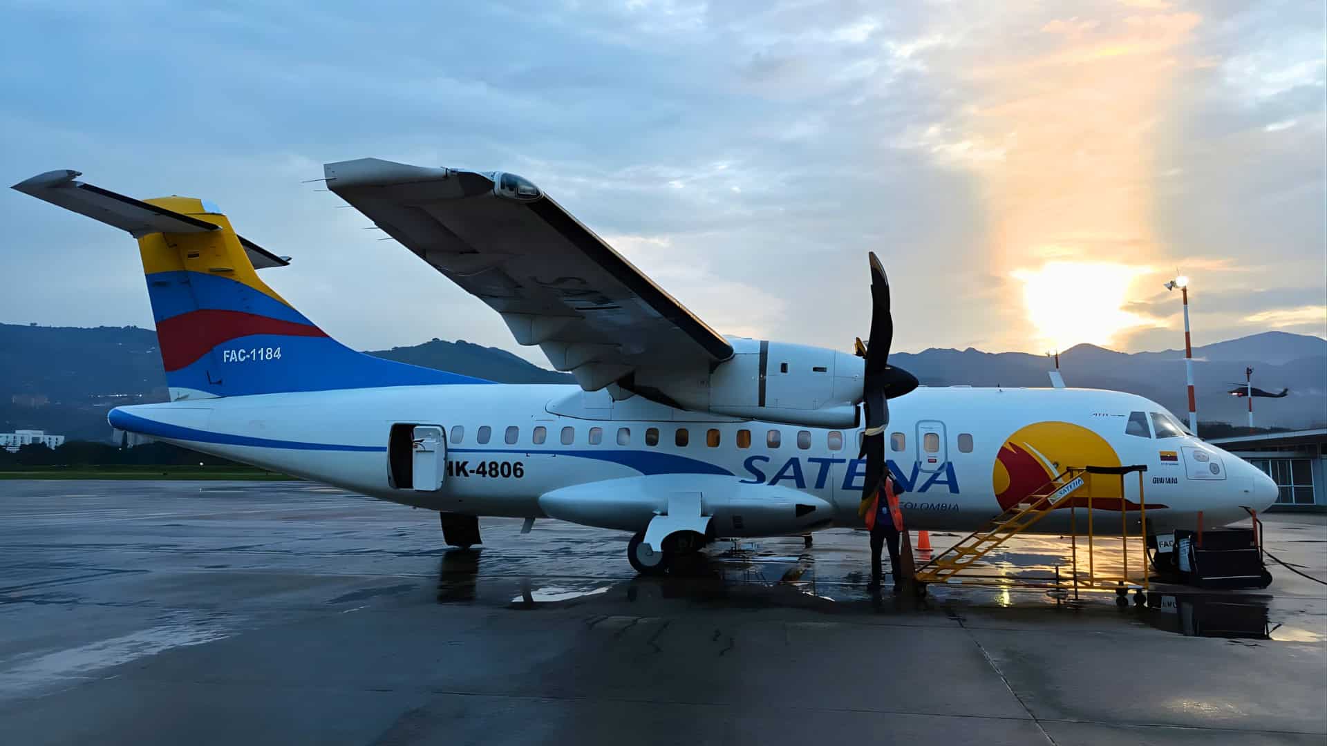
That, in turn, helps satisfy SATENA’s social mandate: to connect the most remote regions of the country to essential services, from healthcare to education to economic opportunity. That means flying to so-called social airports where other airlines don’t operate. On any given day, SATENA flies between roughly 60 destinations, linking about 150 “social routes” across mountains, jungle, and coastline.
For these towns, aviation isn’t a premium service. It’s often a lifeline.
“The software has contributed to opening new social air-transport routes,” Reyes says. “It ensures operational safety and regulatory compliance. It helps reduce CO₂ emissions. And it supports SATENA’s social mission to provide safe, essential air transport.”
Designing “Invisible” Infrastructure
If a runway is a visible piece of infrastructure, a flight route is its invisible counterpart: a precisely defined three-dimensional path through the sky. “We use MicroStation for designing the routes and the departure-and-approach procedures for our airplanes,” Reyes says. “We connect pairs of cities with navigation procedures that are safe, efficient, and tailored to the terrain.”
The work begins with data from Colombia’s Civil Aviation Authority, including terrain elevations, obstacles, runway orientation and geometry, and aeronautical information. SATENA uses the software’s mapping functions to ensure the runway is in the right location and then draws it. “It saves immeasurable time compared to doing this manually,” Reyes says.
Once the runway is anchored in place, the team starts building “protection areas”—three-dimensional corridors that an aircraft must stay within to remain clear of obstacles, even if an engine fails during takeoff or climb, known as engine-out. With the buffers in place, “we assign vertical levels for the aircraft, so pilots know what altitudes to fly to be safe,” Reyes says.
Why Microstation?
MicroStation’s advantage has a lot to do with interoperability, Reyes says. “The products we generate need to be coordinated closely with the Civil Aviation Authority. We don’t just design procedures and start flying them. We must coordinate so air-traffic controllers know these trajectories. Everything must be aligned.”
To make that coordination work, SATENA uses MicroStation’s native DGN format. The software also smoothly integrates with other tools, including terrain and visualization software. The team can bring in contour lines, georeferenced images, and even verify routes in Google Earth’s 3D environment.
As the design progresses, the team uses custom “cells” to rapidly place waypoints and label them—often thousands at a time. “Those points represent the route we are planning,” Reyes says. “We can assign names, import text, and identify each point. MicroStation’s tools save a lot of time for us.”
Once the route and protection areas are defined, SATENA extracts data from MicroStation and runs it through an in-house algorithm that calculates climb gradients and checks whether the aircraft can safely clear obstacles under different engine-out scenarios. When that’s done, the software will produce a graphical output, or chart, that pilots will use in the cockpit. These charts don’t just live on paper. They’re loaded into digital tablets where pilots can see their aircraft moving along the planned route in real time.
Opening New Social Routes
The impact of this work is already visible on SATENA’s route map. In Paipa, a remote social airport with little infrastructure, Bentley tools allowed SATENA to design a takeoff procedure using a runway direction opposite from the aviation authority’s original plan. “By designing it the other way, we guaranteed a safe trajectory,” Reyes explains. “That made it possible to open the social route between Paipa and Medellín. Without that, it wouldn’t have been possible.”
At a second site, called Ocaña, a different challenge emerged because of its confined topography and steep surrounding mountains. The software allowed SATENA “to find a safe trajectory and maintain continuity of air operations,” Reyes says. “People really depend on that service.”
A Better-Connected Colombia
Reyes’ own path reflects the blend of operations, engineering, and public service at the core of SATENA’s work. He started as an air-traffic controller in the Colombian Air Force, serving for 20 years. He later specialized in flight-procedure design, became an electronic engineer, and studied statistics. He is now completing a master’s degree in project management.
Reyes initially joined SATENA to help the airline comply with strict aviation regulations, especially around engine-out scenarios. But once he began that work, his team realized they could go beyond basic compliance. That meant designing procedures that would let pilots take off in adverse weather, navigate around terrain and obstacles with higher margins of safety, and land with greater reliability in challenging environments.
“And later, we had the opportunity to design the en-route phase of flight with more direct routes,” Reyes adds. “When routes become more direct, fuel consumption drops, and CO₂ emissions decrease. So, there’s also an environmental benefit.”
For Reyes, the technical work is never just about lines on a screen. “This is safety. It is social contribution. It is connectivity. It is development: economic development, social development, and cultural development.”
Explore how MicroStation supports safety-critical design in your field.
FAQ
How does MicroStation improve flight safety?
The software creates 3D “invisible infrastructure” like safety corridors and precise departure procedures. It ensures aircraft stay clear of mountains and jungle, even in emergencies.
How does flight optimization reduce CO2 emissions?
Direct routes significantly decrease fuel consumption by avoiding unnecessary detours. These trajectories provide a more sustainable way to reach remote regions.
Why are “social routes” vital for isolated communities?
These routes are a lifeline for towns where geography makes roads impossible. They provide essential access to healthcare, education, and economic opportunities.