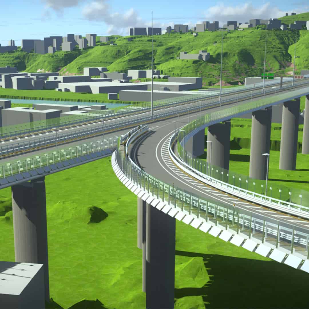
Improve construction project planning with 4D digital workflows, using data-driven models to streamline processes and ensure efficient, safer road and bridge projects.
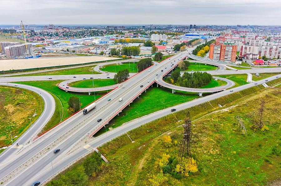
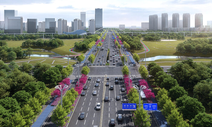
Roads are part of our everyday lives, but they’re wearing down from age, heavy traffic, extreme weather, and natural disasters. Combine this with fewer workers and disconnected workflows, and it’s getting harder to keep up with increasing demands. That’s where Bentley comes in. With solutions made to connect every phase of the lifecycle, you can streamline the way you design, build, and maintain your roadways, making it easier to meet the needs of today—and tomorrow.
Accelerate Project Delivery
Maximize your existing resources to deliver more roadway projects faster.
Optimize roadway construction
Deliver your projects on time and on budget with less impacts and disruptions.
Stay ahead of maintenance
Keep your roads safe, efficient, and performing at their best year after year.
Boost productivity and efficiency to deliver higher-quality roadway designs and better outcomes—above and below ground.
Design with real-world context in mind
Make smarter design decisions from the start by incorporating real-world data—such as subsurface conditions, terrain, existing infrastructure, and environmental constraints—directly into your models. This leads to reduced environmental impacts and transportation infrastructure that’s more resilient and aligned to community needs.
Collaborate across design disciplines
Empower your teams to not only design but collaborate across different disciplines—whether they’re designing roads, bridges, tunnels, geotechnical, drainage systems, or utilities—by working within a single, unified model. The result is shorter design cycles, faster approvals, and more coordinated design processes.
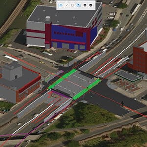
Integrate project delivery workflows
Clearly communicate design intent and improve constructability by using digital workflows to coordinate early and often with construction teams and other stakeholders. This integrated approach allows you to resolve potential conflicts before breaking ground, reducing costly rework and delays during construction.
Design solutions and recommended software
Bentley’s open, interoperable, and discipline-focused applications streamline roadway planning and design—from concept to completion.
Survey and reality modeling
Innovative solutions for capturing, processing, and integrating real-world data into road infrastructure projects.
Reality capture and modeling software: iTwin Capture
Reality data management and 3D visualization software: Orbit 3DM
Scalable 3D visualization in geospatial context: Cesium
Modeling, design, and analysis
Applications for modeling, design, and analysis—above and below ground—including surveying, drainage, underground utilities, and the design of roads, bridges, and tunnels.
Cloud-based geotechnical data management: OpenGround
Road project delivery
Integrated 2D/3D/4D digital workflows for connecting people and data across design, construction, and maintenance project phases.
Cloud-based solution that connects people and data across the infrastructure lifecycle: Bentley Infrastructure Cloud
Project collaboration and information management: ProjectWise
Construction planning and project management: SYNCHRO
Open platform for infrastructure digital twins: Digital Twins
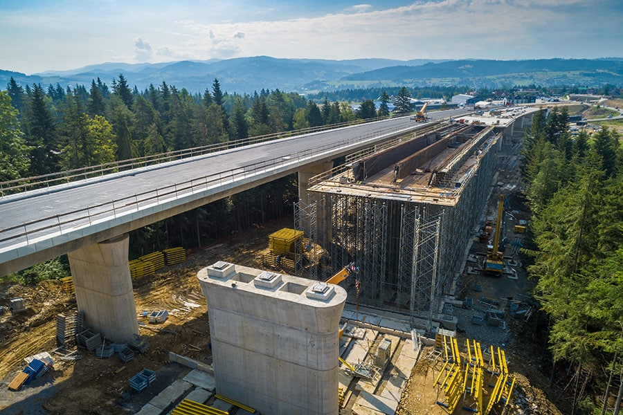
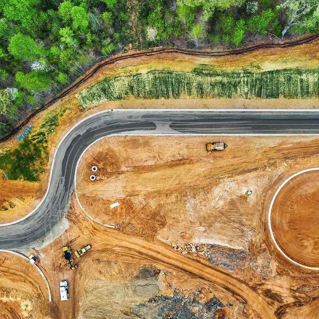
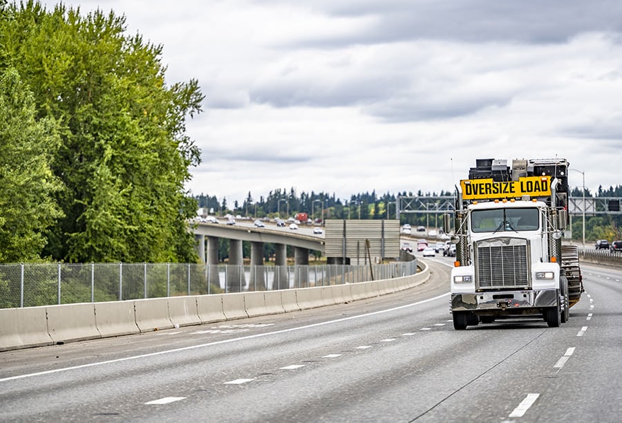
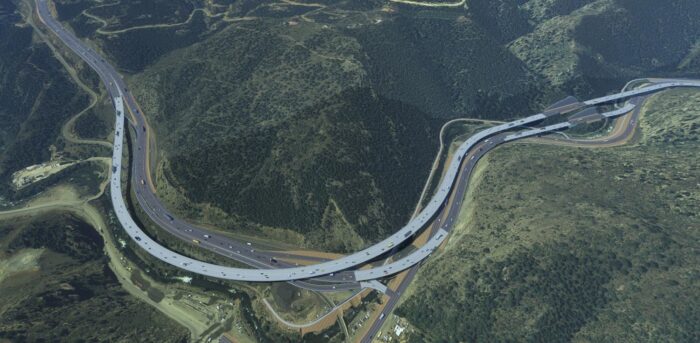
Road and highway construction
Leverage data across design and construction to deliver your roadway projects with greater certainty and less risk.
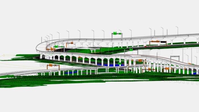
Optimize preconstruction planning
Visualize and validate your construction plans before work begins—catching issues before they happen and anticipating any delays—by running digital rehearsals and “what-if” scenarios. As a result, you’ll increase on-site safety, minimize public and environmental disruptions, and ensure optimal use of your resources.
Improve construction Execution
Enable your teams to make faster, better-informed decisions—whether they’re in the office or out in the field—by tracking project progress and performance in real-time and aligning everyone around a single up-to-date plan. With this greater visibility you’ll boost productivity, increase efficiency, and keep projects on track.
Strengthen Stakeholder Alignment
Ensure all stakeholders are aligned by using a 4D construction model to provide a clear, interactive visualization of the project’s timeline, sequence, and progress. This makes complex plans easy for everyone to understand and engage with, increasing transparency for overall better communication and collaboration.
Construction Solutions and Recommended Software
Bentley’s digital construction delivery software improves the planning and execution of roadway projects.
4D planning and collaboration
4D construction software for planning, scheduling, and managing construction projects.
Understand real-world conditions and usage of your roadways to make smarter maintenance decisions faster
Proactively maintain roadways
Catch roadway issues—such as potholes, faded lane markings or vegetation overgrowth—before they become critical by using AI to analyze imagery from sources such as dashcams and Google Maps. This proactive approach enables you to prioritize maintenance needs, maximize your budget, and extend the life of your roadways.
Automate your asset inventory
Easily identify and classify all your roadway assets by using reality data to automatically detect and catalog signs, guardrails, and pavement markings. As a result, you’ll reduce the time, cost, and effort needed to maintain an accurate and up-to-date asset inventory and improve road infrastructure management.
Plan smarter mobility networks
Answer your roadway planning “what if” questions by incorporating multimodal transport network modeling and modern travel demand forecasting capabilities in one place. This enables you to inform planning initiatives faster and more accurately than ever before and support more efficient, resilient, and sustainable mobility.
Operations and maintenance solutions and recommended software
Bentley’s proactive and predictive maintenance tools improve roadway performance and maximize their lifespan.
Asset detection and analysis
An AI-powered platform for automating roadway condition assessments and asset inventories for transportation agencies.